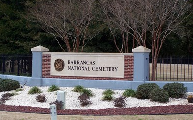
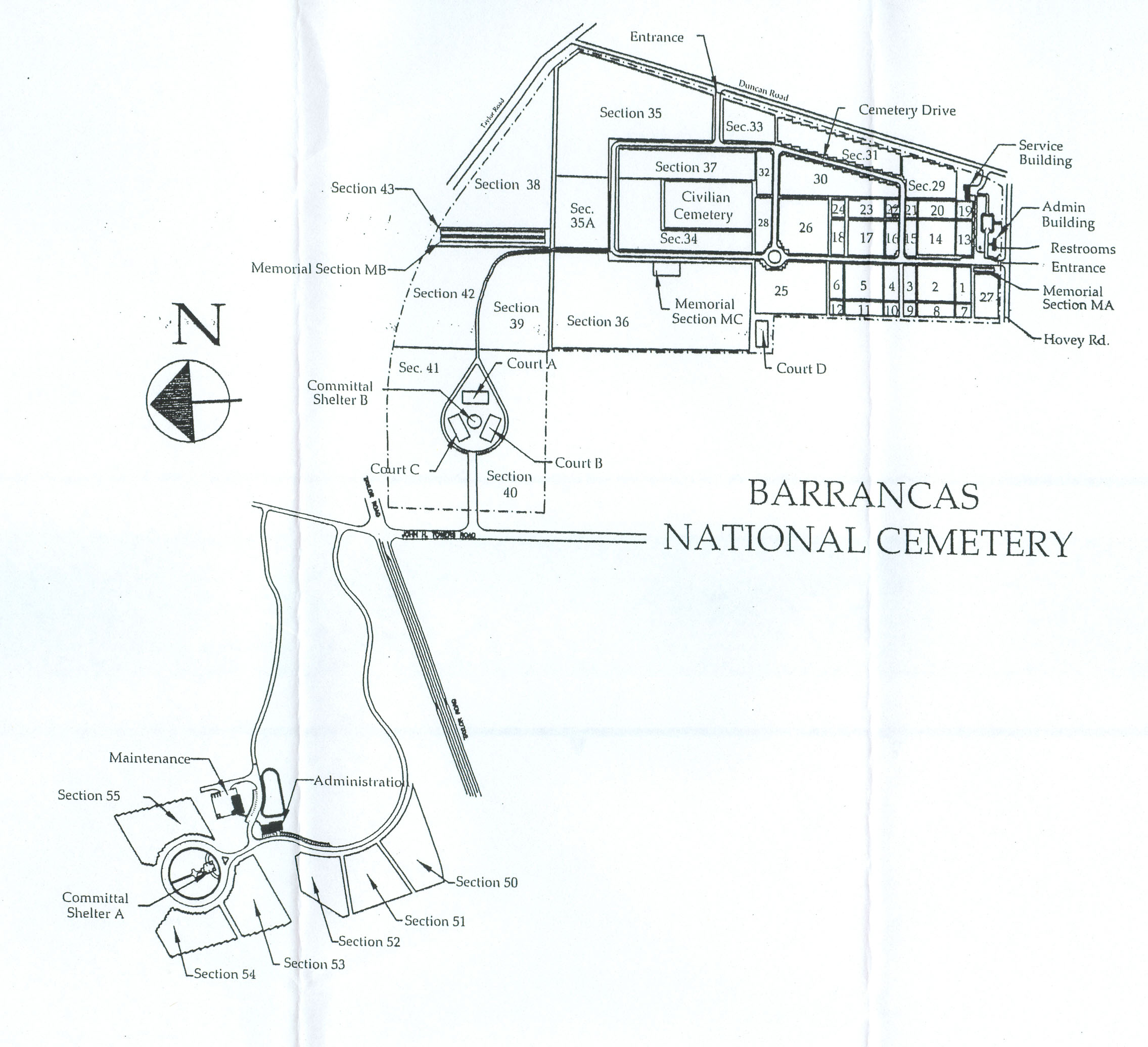
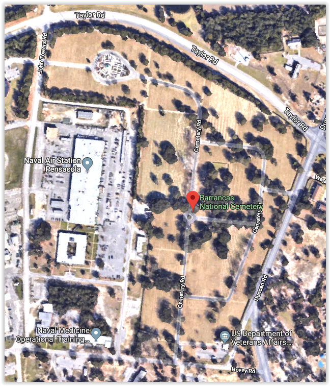
Notes: Next to Naval Air Station at Pensacola, with entrances on Hovey Rd., Duncan Rd. & John Towers Rd. (view fro Taylor Rd.). Sign by entrance: Cemetery map: Aerial view:
Latitude: 30.3553238, Longitude: -87.2841187